Guide, railroad and other signs in Connecticut
The Connecticut Driver's Manual shows or names everything on this page: 20 in all, on pages 18, 46, 50–52.
Independent educational site · not affiliated with any government agency or DMV
Guide and service signs
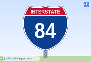
Interstate 84 Route Marker
The shape and color of a route number sign indicate the type of roadway: interstate, U.S., state, city, or county road. When planning a trip, use a road map to determine your route. During the trip, follow the route signs to keep from getting lost.
Manual page 50 · Open this page in the manual (Manual page 50)
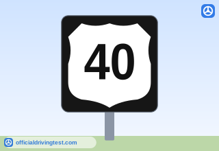
US Route 40 Marker
The shape and color of a route number sign indicate the type of roadway: interstate, U.S., state, city, or county road.
Manual page 51 · Open this page in the manual (Manual page 51)
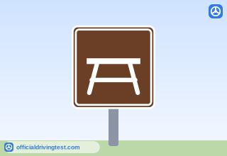
Parks and Recreation Sign (Picnic Table)
These signs are brown. They guide you to recreational areas and parks.
Manual page 51 · Open this page in the manual (Manual page 51)
REST AREA
These signs are square or rectangle shaped and are blue with white letters or symbols. They show the locations of various services, such as rest areas, gas stations, campgrounds, or hospitals.
Manual page 51 · Open this page in the manual (Manual page 51)
EXIT 44
These signs are always green. They direct you to bike routes, parking areas, mileposts and specific exits.
Manual page 51 · Open this page in the manual (Manual page 51)
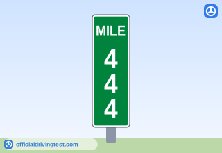
Milepost (MILE 444)
Mileposts are placed every mile along the freeway from one end of the state to the other. Zero usually starts at the south and west borders of the state. Mileposts can be used to determine the distance to exits, cities or state lines. By using the milepost number and the exit number, you may compute how far you are from the exit you want to use.
Manual page 51 · Open this page in the manual (Manual page 51)
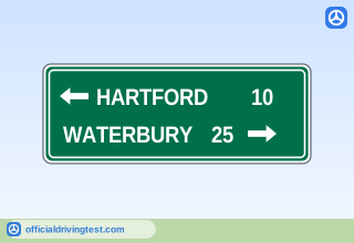
HARTFORD 10 / WATERBURY 25
These signs are always green. They include items such as state lines, city limits and other boundaries. You may also find names of streams, elevations, landmarks and other items of geographical interest.
Manual page 51 · Open this page in the manual (Manual page 51)
Railroad crossings
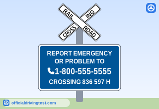
Emergency Notification System Sign
A blue colored Emergency Notification System sign can be found at highway-rail grade crossings, and provides the public with a 24/7/365 telephone number to call to report problems or emergencies at these railroad locations.
Manual page 51 · Open this page in the manual (Manual page 51)
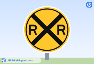
Railroad Crossing Advance Warning
A round yellow warning sign with an “X” symbol and black “RR” letters is placed along the road before you get to a railroad crossing.
Manual page 52 · Open this page in the manual (Manual page 52)
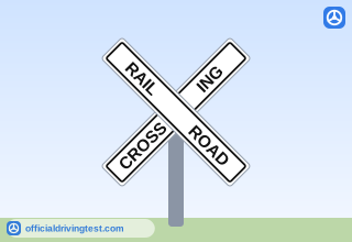
Railroad Crossbuck
A white, X-shaped sign or “crossbuck” with “Railroad Crossing” printed on it is located at the railroad crossing. This sign has the same meaning as a “Yield” sign. You must yield to crossing trains.
Manual page 52 · Open this page in the manual (Manual page 52)
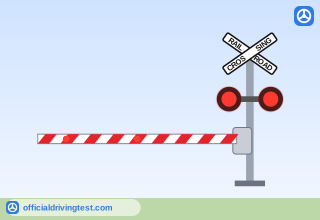
Railroad Crossbuck, Flashing Lights and Gate
Gates are used with flashing light signals at some crossings. Stop when the lights begin to flash and before the gate lowers. Remain stopped until the gates are raised and the lights stop flashing. Do not attempt to drive around the lowered gate. Also, pedestrians may not cross railroad tracks when warned of a train by an automatic signal, crossing gates, flagman or law enforcement officer.
Manual page 52 · Open this page in the manual (Manual page 52)
Other signs and symbols
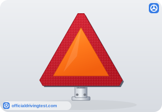
Slow-Moving Vehicle Emblem
Farm tractors, animal-drawn vehicles and roadway maintenance vehicles usually go 25 mph or less. These vehicles should have a slow-moving decal (an orange triangle) on the back.
Manual page 18 · Open this page in the manual (Manual page 18)
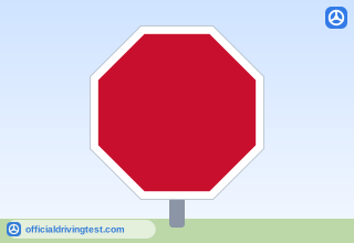
Octagon: Stop
The octagon (eight-sided) shape always means stop. You must come to a complete stop at the sign, stop line, pedestrian crosswalk or curb. Then, yield the right-of-way to any vehicle or pedestrian approaching from either direction.
Manual page 46 · Open this page in the manual (Manual page 46)
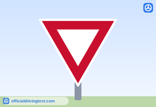
Triangle: Yield
Slow down to a speed reasonable for the conditions and yield the right-of-way. Stop if necessary.
Manual page 46 · Open this page in the manual (Manual page 46)
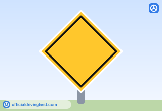
Diamond: Warning
These signs warn you of special conditions or hazards ahead. Drive with caution and be ready to slow down or stop.
Manual page 46 · Open this page in the manual (Manual page 46)
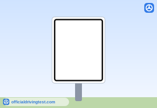
Rectangle/Square: Regulatory, Warning, and Guide
Vertical signs generally give instructions or tell you the law. Horizontal signs may give directions or information.
Manual page 46 · Open this page in the manual (Manual page 46)
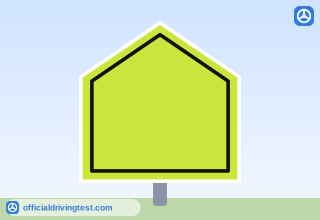
Pentagon: School Zone and School Crossing
The pentagon (five-sided) shape marks school zones and warns you about school crossings. Signs may have a separate downward-pointing arrow plaque, which indicates the actual location of the crosswalk.
Manual page 46 · Open this page in the manual (Manual page 46)
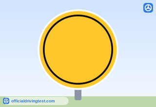
Circle: Railroad Crossing
A circular sign indicates that you are approaching a railroad crossing. Slow down, look and listen for trains.
Manual page 46 · Open this page in the manual (Manual page 46)
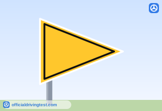
Pennant: No Passing Zone
This three-sided sign is shaped like a pennant. When used, the sign is on the left side of a two-lane, two-way roadway. It is posted at the beginning of a NO-PASSING ZONE where “no-passing” pavement markings are also used.
Manual page 46 · Open this page in the manual (Manual page 46)
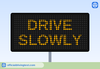
Electronic Message Board
You may see portable or permanent message boards along the highway. They may provide information about traffic, road, weather or other hazardous conditions. Always obey any directions posted on these message boards.
Manual page 52 · Open this page in the manual (Manual page 52)